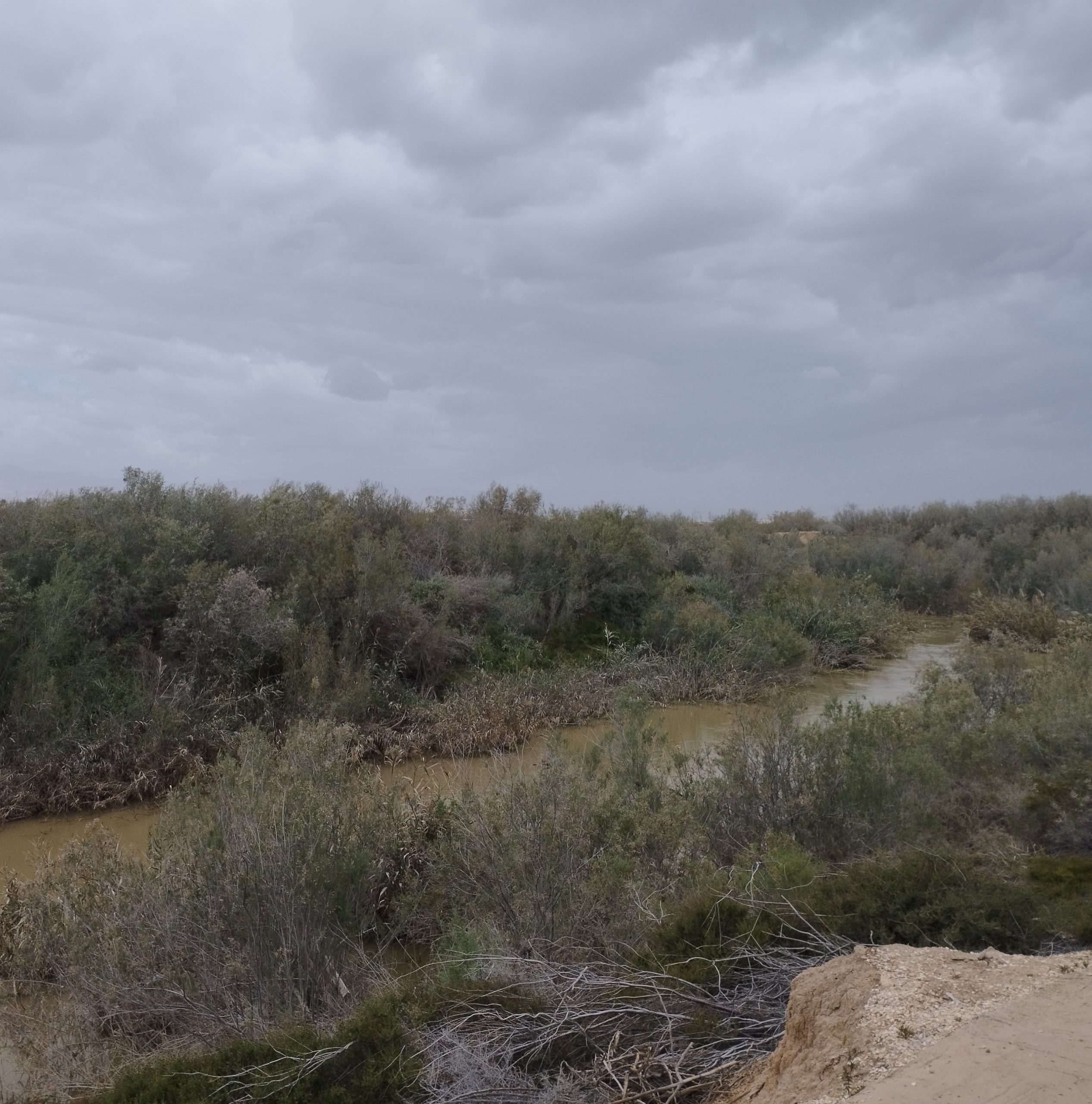
The GLOWA Jordan River Atlas is an end-user geographical information system (GIS) and the result of an interdisciplinary and international research project going from 2002-2012. The atlas covers the geographical area of Israel, Jordan, and Palestine. You can find maps about climate change and its impact on water and land resources, including ecosystems. Additionally, it provides information about the impact of global change on ecosystem services, land use and agriculture and much more. It is a valuable open access database for researchers in the field of climate change and land and water management in the Jordan River region.

